|
|
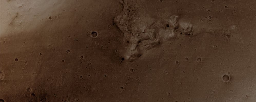
Over the Columbia Hills (Natural Colors; credits: Dr Paolo C. Fienga - Lunexit Team)
|
Acquisition date: 04 March 2011
Mars Local Time (M.L.T.): 15:11 (Early Afternoon)
Latitude (centered): 14,6° South
Longitude (East): 175,6°
Spacecraft Altitude: approx. 264 Km (163,944 miles)
Original Image Scale Range: 26,4 cm/pixel (with 1 x 1 binning) so objects ~79 cm across are resolved
Map Projected Scale: 25 cm/pixel and North is up
Map Projection: EQUIRECTANGULAR
Emission Angle: 2,9°
Sun-Surface-Spacecraft Angle (i.e.: Phase Angle): 48,7°
Solar Incidence Angle (S.I.A.): 46°, with the Sun about 44° above the Local Horizon
Solar Longitude: 247,7° - Northern Autumn
|
|