|
|
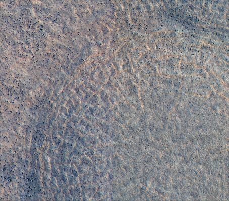
Polygonal Terrain (2)
|
Image TRA_000828_2495 was taken by the High Resolution Imaging Science Experiment (HiRISE) camera onboard the Mars Reconnaissance Orbiter spacecraft on September 30, 2006. The complete image is centered at 69,3° North Latitude and 130,2° East Longitude. The range to the target site was 315 Km (199 miles). At this distance the image scale is 32 cm/pixel (with 1 x 1 binning) so objects ~96 cm across are resolved. The images shown here has been map-projected to 75 cm/pixel and North is up. The image was taken at a local Mars time of 3:01 PM and the scene is illuminated from the West with a solar incidence angle of 53,4°, thus the Sun was about 35,1° above the horizon. At a Solar Longitude of 113,7°, the season on Mars is Northern Summer / Southern Winter.
|
|