|
|
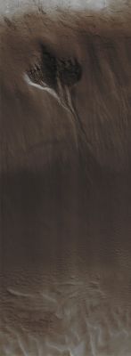
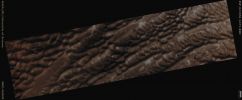
Defrosting Southern Gully and Dunes (Absolute Natural Colors; credits for the additional process. and color.: Dr Paolo C. Fienga - Lunexit Team)
|
Mars Local Time: 14:30 (early afternoon)
Coord. (centered): 58,5° South Lat. and 305,3° East Long.
Spacecraft altitude: 251,3 Km (such as about 157,1 miles)
Original image scale range: 25,1 cm/pixel (with 1 x 1 binning) so objects ~ 75 cm across are resolved
Map projected scale: 25 cm/pixel
Map projection: EQUIRECTANGULAR
Emission Angle: 1,9°
Phase Angle: 65,1°
Solar Incidence Angle: 64° (meaning that the Sun is about 26° above the Local Horizon)
Solar Longitude: 355,6° (Northern Winter)
Credits: NASA/JPL/University of Arizona
Additional process. and coloring: Lunar Explorer Italia
|
|